
Laser Scanning
Other Service
Get A Free Quote
Precision Laser Scanning Services
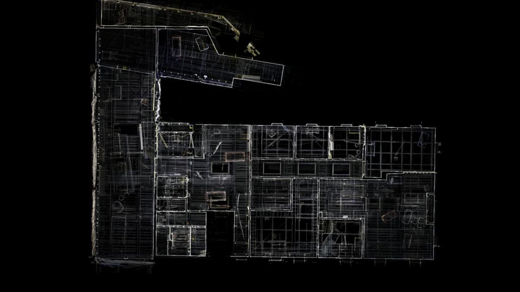
At Reality Capture Surveys, we specialise in state-of-the-art laser scanning surveying, a cutting-edge technology that delivers unparalleled accuracy and detail. We adopt the latest hardware to capture millions of data points, creating precise 3D models of physical environments. This service is ideal for a wide range of applications, from construction and architecture to heritage preservation and engineering.
Why Choose Laser Scanning?
- High Precision and Detail: Our laser scanning service captures
comprehensive data with exceptional accuracy. This level of detail is
crucial for complex projects where precision is paramount.
- Efficient Data Collection: Traditional surveying methods can be time-consuming.
Our laser scanners significantly speed up the data collection process,
covering large areas swiftly while maintaining high accuracy.
- Reduced Project Costs: By providing detailed information upfront, our laser
scanning service helps in minimizing the need for revisits and alterations
during a project, leading to substantial cost savings.
- Versatile Applications: Our experience allows us to tailor our laser scanning
service to your project’s specific needs.
- Enhanced Safety: Laser scanning is a non-intrusive method that can be conducted
from a safe distance. This is especially beneficial in hazardous or
inaccessible areas, ensuring safety without compromising data quality.
- Seamless Integration: The data we collect integrates smoothly with various CAD
and BIM software, allowing us to facilitate incorporation into your
existing workflows.
RCS Laser Scanning Process
01
Pointcloud Survey
A Pointcloud survey is conducted on site using a SLAM based Lidar unit or Terrestrial Laser Scanner; coordinates are realised in Global or Arbitrary Coordinates. Our SLAM based unit can be mounted to a drone, allowing us to obtain data from previously hard to reach, or hazardous, areas, e.g. over water. All pointcloud data can be colourised using RGB colours from photo data, or, represented by Intensity values or Elevation. We rely on our industry experience and knowledge to select the most appropriate sensor to meet our clients requirements.
02
3D Intelligent CAD Model
Pointcloud data can be hard to manage and interpret, therefore, we offer a 3D CAD modelling service to produce deliverables in .DWG or .DGN format. Furthermore, RCS supply a free CAD viewing software which allows clients to navigate the model, query coordinates, take measurements, and toggle between visible layers such as structures and services. We can embed descriptive information about the asset into the layers, as well as photo and video data to improve the user experience.
Previous
Next
