
Point Cloud Deviation
What Service We Provide
Pointcloud data is inherently hard to manage and is not often used to it’s full potential. Our Pointcloud deviation service demonstrates the unique possibilities that big data sets can bring to your business.
See how design deviation visualisations offer a major step change in Quality Assurance…
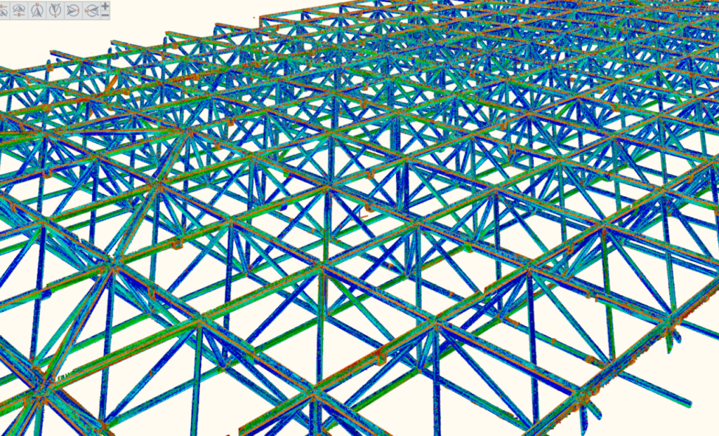
Pointcloud Deviation Process
Step 1
Subject area is surveyed using a terrestrial Lidar sensor; we select the most appropriate sensor depending on factors including range and material surface composition. A target based registration is carried out to assign the points with coordinates relative to the original design.
Step 2
The Design Model and As-built Pointcloud Model are compared to detect differences in position. Distance parameters are tailored to suit the job, maximising the visual effect and relevance based on clients needs. The output from the process is realised as a 3D colour model, where colour range represents deviation in position.
Step 3
Cross sections are plotted through the entire survey area to present the client with a full representation of the subject surveyed. This simplified breakdown provides an insight to the quality of construction on a scale which adds true value to the Quality Assurance process. Furthermore, complex structures do not present a problem and only act to highlight the power of this product.
Previous
Next
